©2024
Although compiled using official sources, this site is not affiliated with the Maryland State Highway Administration, the Maryland Transportation Authority, or any other federal, state or local government agency.
![]()

MDRoads.com is a guide to Maryland's highway system, past and present. Information is organized by type of highway (Interstate, US or state) and route number. This site is, and will probably always be, a work in progress; as time permits, I'll add maps, exit guides, and highway photos. In the meantime, here's the canonical list of Maryland highways, the text file from which sprang this entire site.
So what's here, you ask? Check out the links below:


Maryland's Interstates
Information on all Interstate highways in Maryland, including mileages, exits, and historical info.
Maryland's US Highways
All Maryland US Highways, current and those no longer around. Route 66 isn't the only extinct US highway; Maryland
too has its fair share.
State Routes
Many of your favorites, or maybe not so favorites as the case may be, plus some others you may have never heard of.
Also many unmarked routes and numbers which disappeared long ago. You may find you live along an unmarked or decommissioned
route that carries a number or once did. There's also a list of unassigned numbers.
You can also jump straight to route pages using the pulldown menus to the left. Each Interstates
and US highway has a page to itself. State pages are grouped with roughly twenty
routes per page. See the legend page for more information.
Road Pics
Roadside photos from all over Maryland, arranged by county.
About the Site
So, how does one get into a topic and a site like this?
Links
Other highway related sites from around the web.
Original Style State Route Listing
Old Wicomico County Route Listing
Photo Gallery: MD 200 ICC Opening Day:
February 2011
Photo Gallery: MD 200 Intercounty Connector (ICC):
March 2009-present (pre-opening)
Photo Gallery: I-95 Express Toll Lanes
Construction photos end to end. Also photos from the I-95/695 Interchange.
Photo Gallery: MD 30 Hampstead Bypass
Extensive pre- and post-opening photos.
Photo Gallery: Eastern Baltimore County
MD 702, MD 150, US 40, MD 7 in the Rosedale, Essex and Middle River areas.
Photo Gallery: MD 700 Martin Blvd.
Middle River-also MD 493, 599.
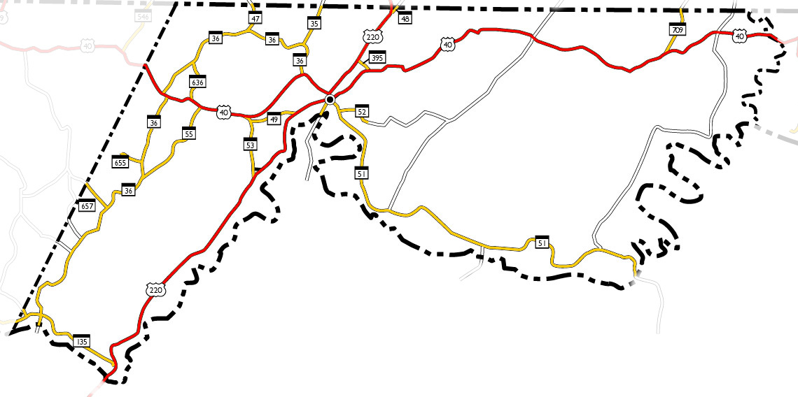
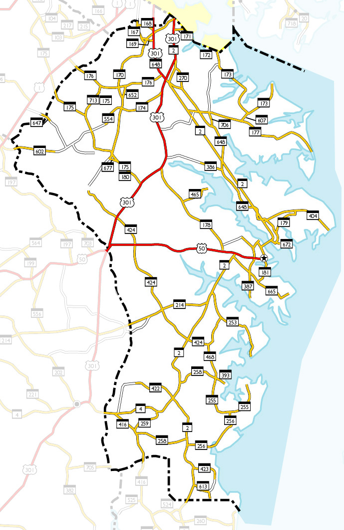
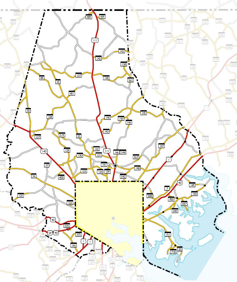
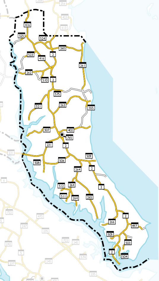
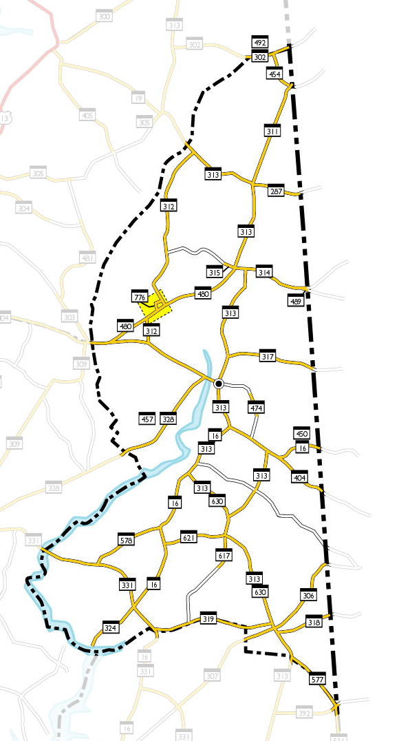
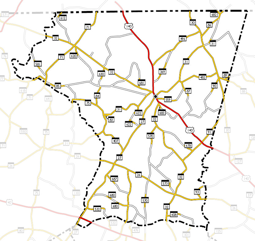
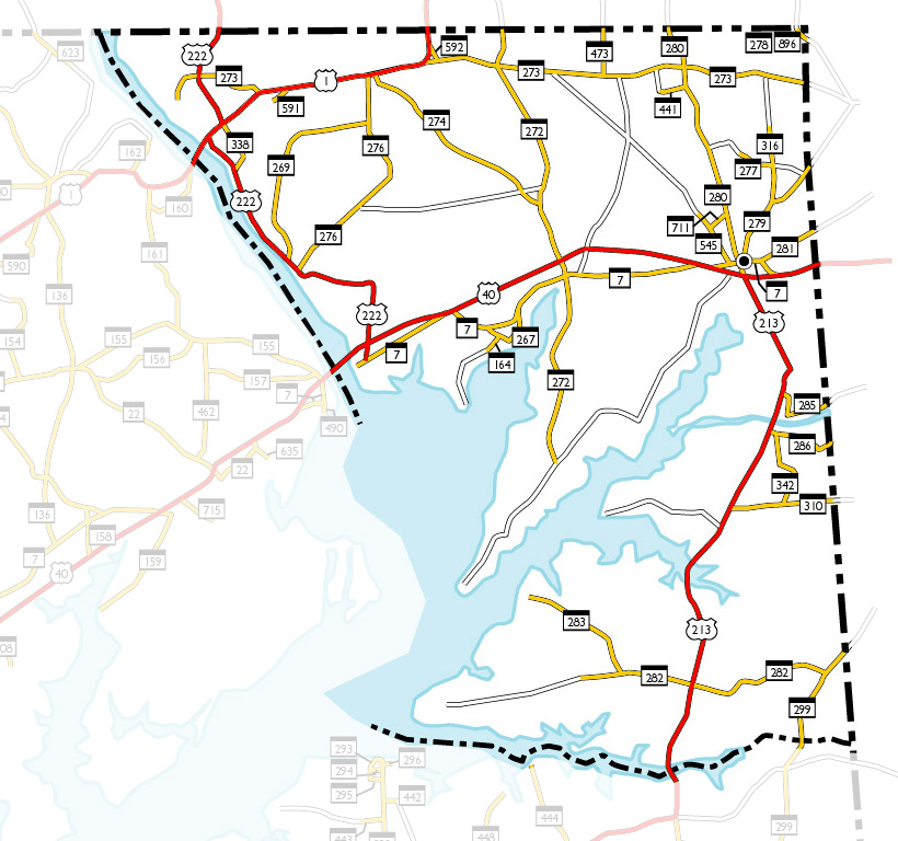
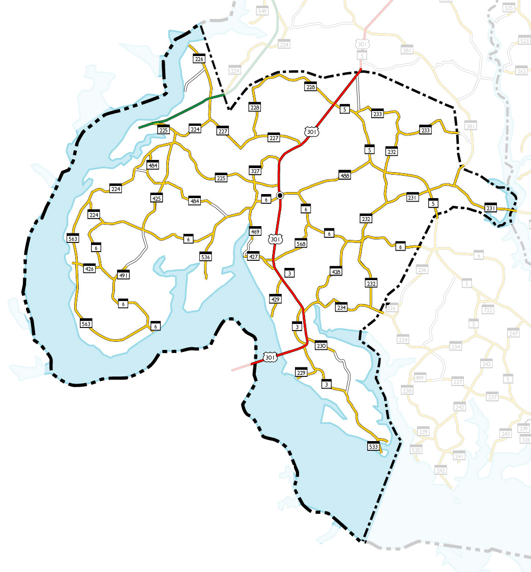
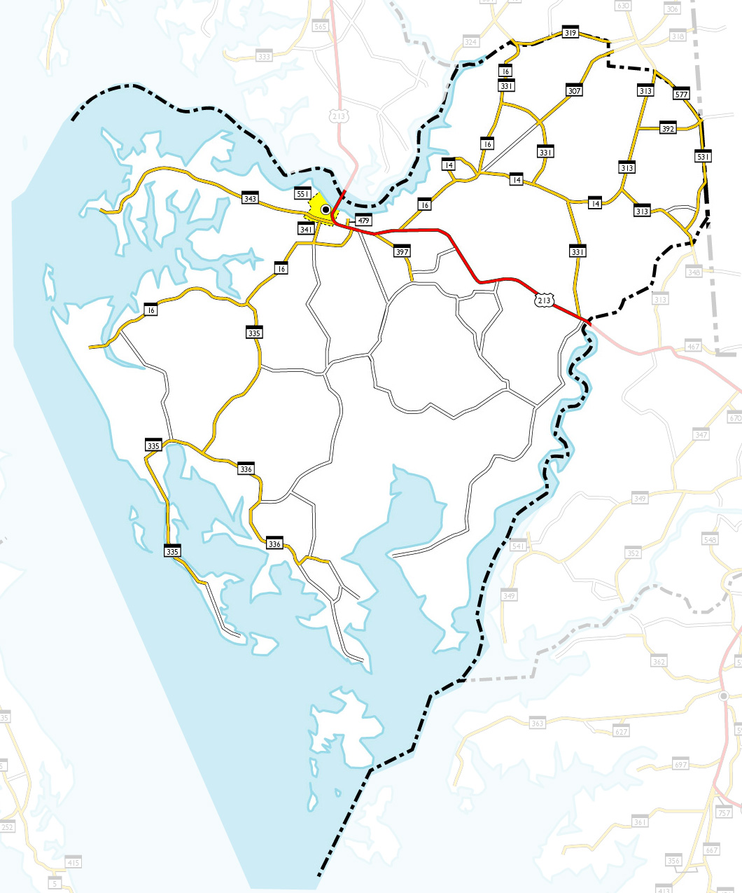
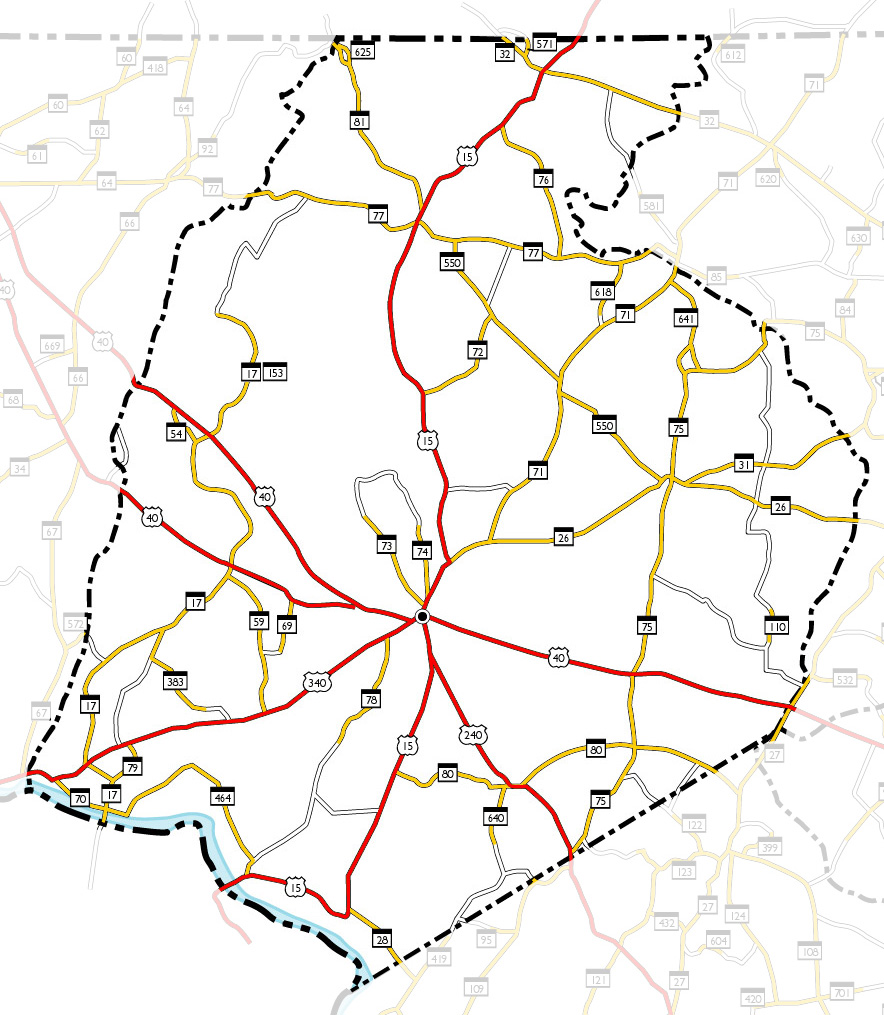
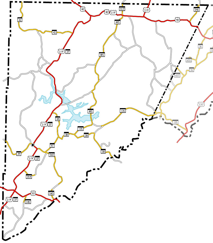
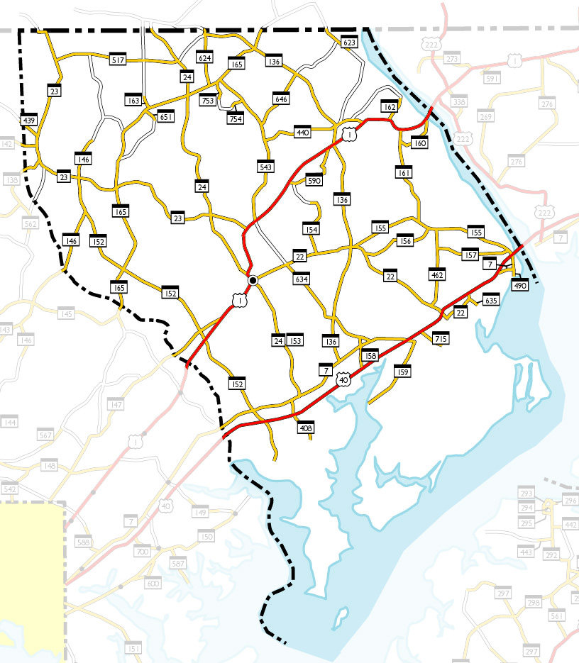
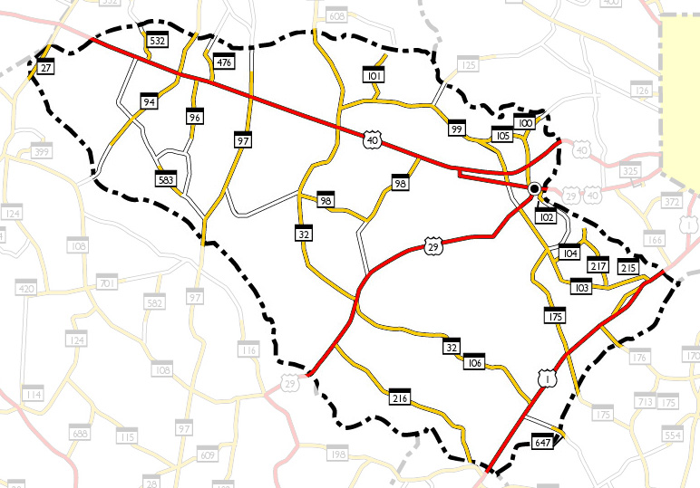
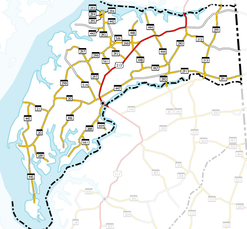
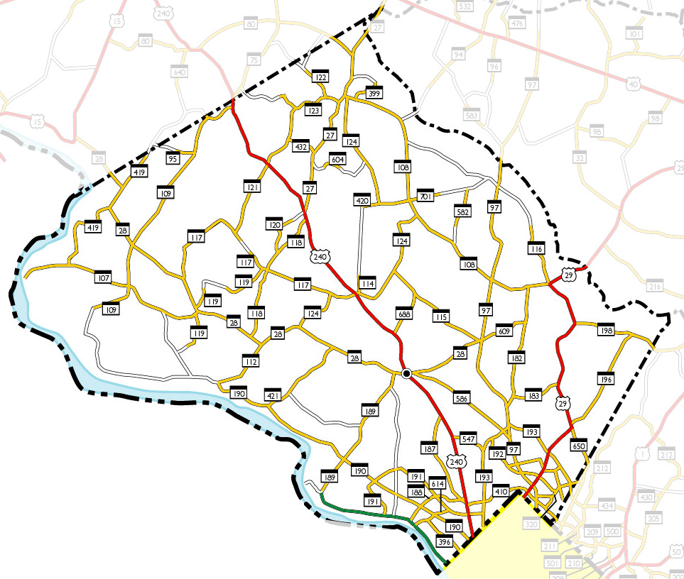
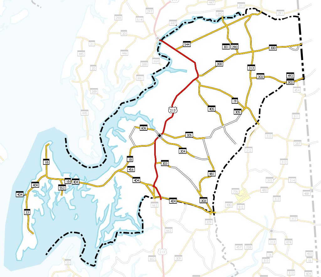
Maryland Highways in 1948
These maps I created based upon the official state map from 1948. They
show some examples of the numbering clusters, 'broken' and 'floating'
routes (each map will open in a new window):
Allegany
Anne Arundel
Baltimore
Calvert
Caroline
Carroll
Cecil
Charles
Dorchester
Frederick
Garrett
Harford
Howard
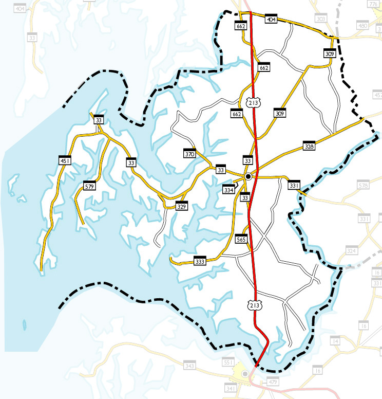
Kent
Montgomery
Prince George's
Queen Anne's
St. Mary's
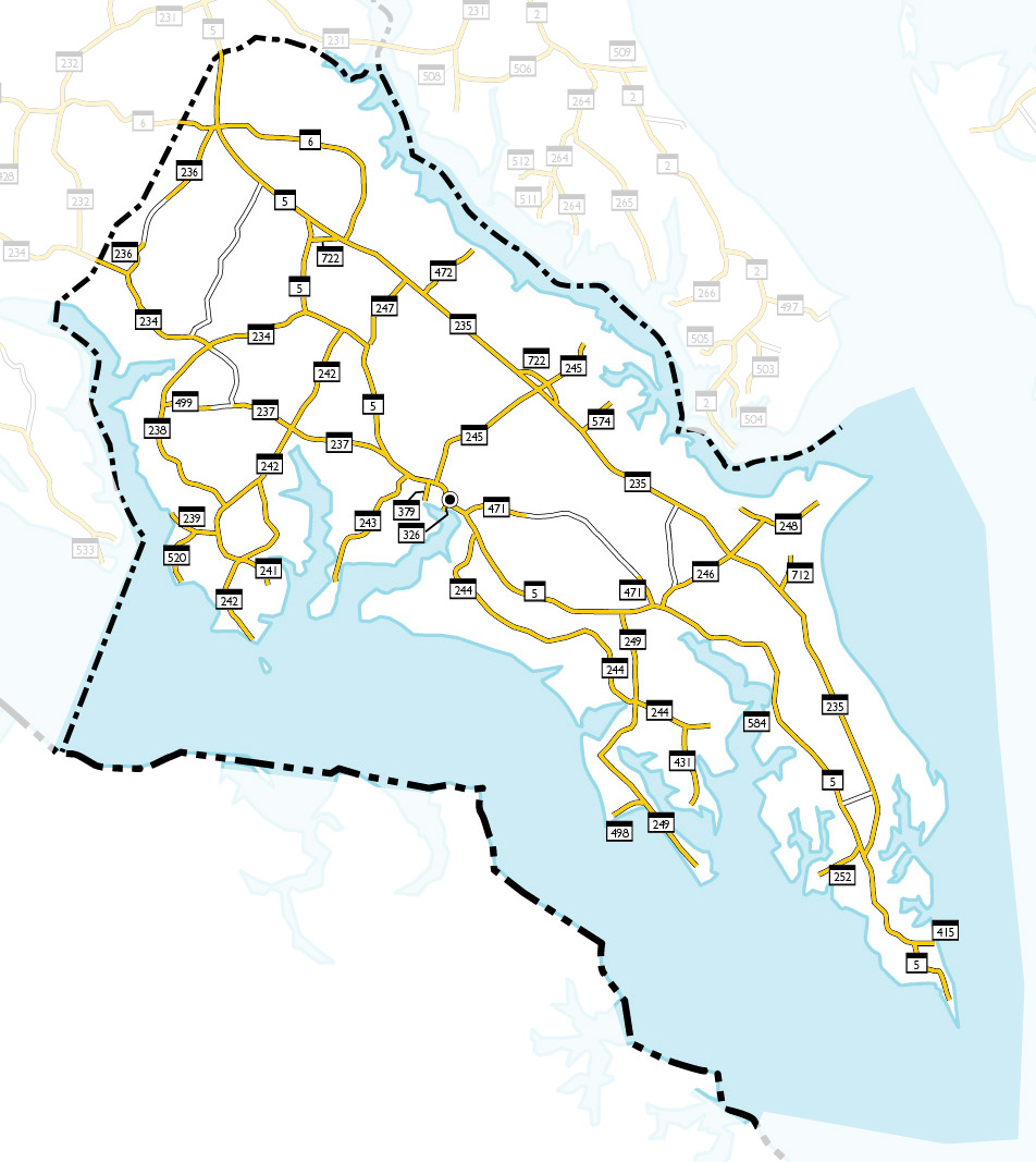
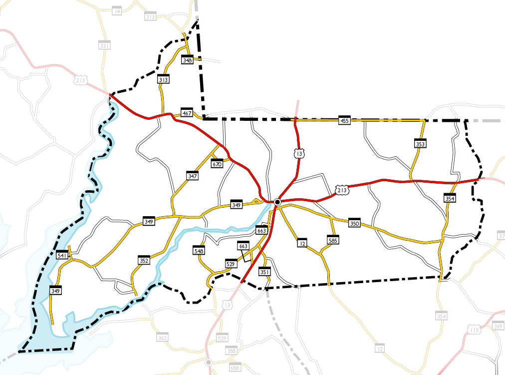
Somerset
Talbot
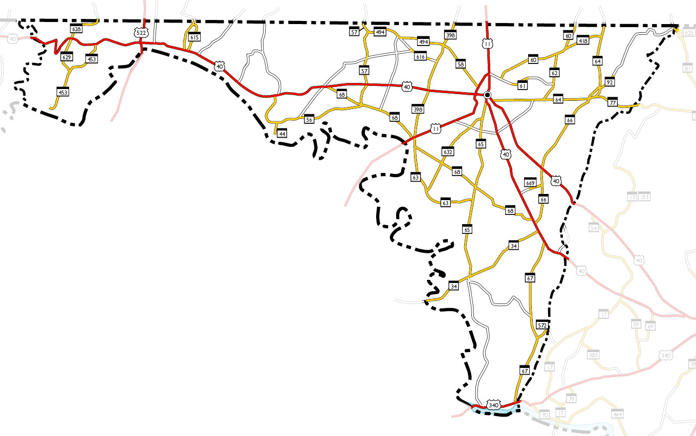
Washington
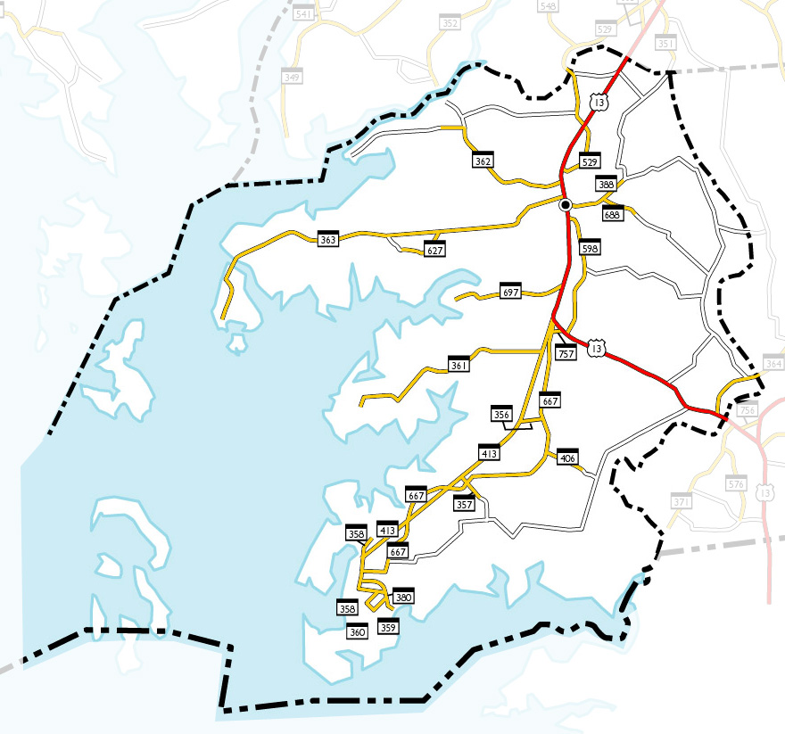
Wicomico
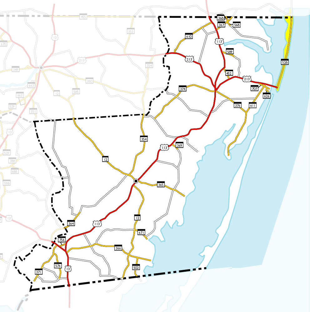
Worcester
This is a privately maintained, unofficial, non-commercial site.
Although information is compiled from official sources, it is not affiliated with the State of Maryland
or any of its highway related agencies,
the State Highway Administration, the Maryland Transportation Authority,
or the Maryland Department of Transportation. This site is for informational purposes only.
![]()
![]()
![]()